Water Rights
Water Rights Summary
The District maintains several reservoir storage and direct flow water rights for the benefit of its contractees:
- Storage Rights: Contract pools in Ruedi and Green Mountain reservoirs.
- Direct Flow Rights: The District’s Basalt Conduit, Landis Canal, and several domestic and agricultural rights located in the Fryingpan and Roaring Fork river basins.
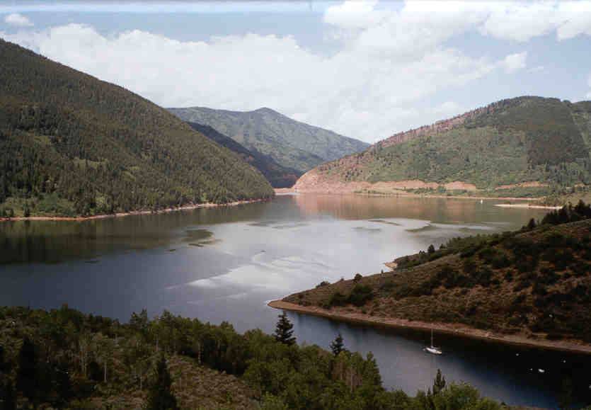
Ruedi Reservoir
Ruedi Reservoir was authorized for construction by the US Congress as part of the Fryingpan-Arkansas Project Act of 1962. As provided by that act, it is operated in accordance with principles adopted by the State of Colorado on December 9, 1960. The Fryingpan-Arkansas Project is a transbasin water diversion project.
A collection system diverts water from the headwaters of the Fryingpan and Roaring Fork River basins and delivers it to the Arkansas Valley on the Eastern Slope via a system of tunnels through the Continental Divide. Ruedi Reservoir was authorized to provide replacement storage to the Western Slope for water diverted to the Eastern Slope, and to provide contract water for other water use in western Colorado. The reservoir was completed in May, 1968.
On May 13, 1983, the District entered into a water service contract with the United States Bureau of Reclamation (BOR) for 500 acre-feet (AF) of water annually from Ruedi Reservoir. This contract is part of a larger contract pool commonly referred to as the Ruedi “Round 1″ contract sales. In addition to the contract for 500 AF of water in Ruedi Reservoir, in 2000 the District contracted for 490 AF of additional storage under the Ruedi “Round II” contract sales. The Ruedi Reservoir water may be used for municipal and domestic purposes, including residential, irrigation, commercial and other municipal water uses. The water delivered to the District can be used either directly, or by exchange for augmentation.
Green Mountain Reservoir
In 1998, the District entered into a contract with the BOR for 1,000 AF of storage in Green Mountain Reservoir, significantly increasing the amount of reservoir augmentation storage available for the District’s water allotment program. The contract provides that the 1,000 AF of water may be used for municipal and domestic purposes directly or by augmentation and exchange.
Basalt Conduit and Landis Canal
On June 20, 1958 in Civil Action No. 4613, the Garfield County District Court awarded a conditional water right for 450 cubic feet per second for the Basalt Conduit and 170 cubic feet per second for the Landis Canal as a component of the Basalt Project. Both water rights were decreed for multiple uses, including power generation, irrigation, domestic, municipal, livestock water, piscatorial and industrial purposes with an appropriation date of July 29, 1957. In Case No. W-789-76, 40 cubic feet per second of the Landis Canal was abandoned.
Most District water allotment contracts, with some exceptions, include a direct flow water right under the Basalt Conduit. When the contractee’s use of the water right is approved by the State Engineer and/or Water Court, the contractee has the right to divert under the fairly senior 1957 Basalt Conduit priority. The decreed source of water for the Basalt Conduit is the Fryingpan River at the head of the outlet pipe for Ruedi Reservoir. The water is diverted by the District water user at an alternate point of diversion, such as the contractee’s well or surface diversion.
Some water allotment contracts located in Missouri Heights or Spring Valley include a direct flow right under the Landis Canal. When the contractee’s use of the water right is approved by the State Engineer and/or Water Court, the contractee has the right to divert under the fairly senior 1957 Landis Canal priority. The Landis Canal’s decreed points of diversion are located on Cattle Creek, Landis Creek, and other named and un-named tributaries of the Roaring Fork River, including Coulter Creek and Cattle Creek. The water is diverted by the District water user at an alternate point of diversion, such as the contractee’s well or surface diversion.
Robinson Ditch and Favre Domestic Spring and Pipeline
The District owns shares in the Robinson Ditch and additional rights in the Favre Domestic Spring and Pipeline. The District adjudicated an augmentation plan in Case 93CW319 to utilize these water rights in combination with water from Ruedi Reservoir to provide reliable augmentation to Blue Creek, located near El Jebel, Colorado. The plan for augmentation in 93CW319 was decreed in 1998, and approved 119.3 AF of Robinson Ditch consumptive use credit on Blue Creek, for use in the District’s Substitute Water Supply Plan.
Troy and Edith Ditch
In 1998, two augmentation plans were filed by the District, Cases 98CW026 and 98CW089. These cases were consolidated and decreed by the Water Court in 1999. The decree incorporated 412.9 AF of historic consumptive use credits under the Troy and Edith Ditch water rights into the District’s program. 30 AF are dedicated to the 1998 augmentation plans, while the remaining 382.9 AF are approved for use under the Substitute Water Supply Plan or other Plans for Augmentation. The District usually applies the Troy and Edith Ditch consumptive use credits to domestic and agricultural contracts.
Water Rights Plans for Augmentation
The Basalt Water Conservancy District obtained a decree in 2012 in Case Number 01CW305, which decreed a change of water rights and approved a plan for augmentation to cover depletions from specific points of diversions for 123 contracts. All of the 123 contracts are located within the District’s service area A. Contractees whose contracts were included in this decree are required to reimburse the district for the costs of obtaining this decree.
The Basalt Water Conservancy District also obtained a decree in 2012 in Case No. 02CW77, Rule 1 of 2. Ruling 2 of 2 is still pending before the Water Court. This case requests court approval of an “umbrella” augmentation plan to cover depletions from diversions by future District contractees within the District’s service area A. For the purpose of this plan for augmentation the District has further divided its Area A into four sub-areas A-1, A-2, A-3 and A-4. Each sub-area contains a portion of either the Roaring Fork River or Fryingpan River, and designated tributaries, on which the District will provide service under this plan for augmentation. LRE Water (LRE) has prepared a map that depicts these sub-areas. These maps are available by contacting LRE at 970-945-6777.


